2018
SD9526 : Chisley Stones (4)
taken 6 years ago, near to Blackshaw Head, Calderdale, England
This is 1 of 4 images, with title starting with Chisley Stones in this square
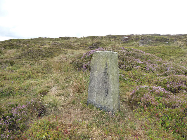
Chisley Stones (4)
One of the few standing stones around the quarry, but it is more likely to relate to the 19th century quarrying, or may possibly be a boundary stone, rather than any ancient culture
The Chisley Stones on Staups Moor
The name on the map suggests a stone circle or other deliberate formation but there's no sign of this - the few standing stones around the former stone quarry are probably boundary markers. There is one reference online to this being one of several "druidical" sites in the South Pennines (source: Link
) but another contributor suggests that "the name refers to the many boulders that are scattered at random" SD9526 : The summit of Chisley Stones, Blackshaw.
 Map © Crown Copyright")
TIP: Click the map for more Large scale mapping
- Grid Square
- SD9526, 40 images (more nearby 🔍)
- Photographer
- Stephen Craven (more nearby)
- Date Taken
- Saturday, 28 July, 2018 (more nearby)
- Submitted
- Saturday, 5 October, 2019
- Subject Location
-
OSGB36:
 SD 952 266 [100m precision]
WGS84: 53:44.1459N 2:4.4546W - Camera Location
-
OSGB36: SD 952 266
- View Direction
- Southeast (about 135 degrees)