2019
SP1399 : Showing the way ahead - Roughley, West Midlands
taken 5 years ago, near to Roughley, Birmingham, England
Showing the way ahead - Roughley, West Midlands
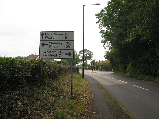
This sign shows the way at the crossroads ahead, at the junction of the B4151 Slade Road with Weeford Road, Sutton Coldfield. Running northwards Weeford Road connects the A453 Tamworth Road SP 1397 with Camp Road SK 1300 just within the Lichfield boundary in Staffordshire. Time photo taken 12.37 pm BST (British Summer Time).
 Map © Crown Copyright")
TIP: Click the map for more Large scale mapping
- Grid Square
- SP1399, 28 images (more nearby 🔍)
- Photographer
- Martin Richard Phelan (more nearby)
- Date Taken
- Thursday, 3 October, 2019 (more nearby)
- Submitted
- Sunday, 6 October, 2019
- Subject Location
-
OSGB36:
 SP 1354 9929 [10m precision]
WGS84: 52:35.4746N 1:48.0938W - Camera Location
-
OSGB36: SP 1354 9929
- View Direction
- Southwest (about 225 degrees)