2019
SP1399 : Slade Road under the M6 Toll Road - Roughley, West Midlands
taken 5 years ago, near to Roughley, Birmingham, England
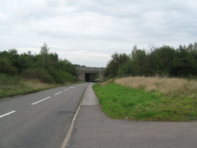
Slade Road under the M6 Toll Road - Roughley, West Midlands
A view eastwards on the B4151 Slade Road where it passes under the M6 Toll Motorway and continues on to join the A453 Tamworth Road just south-west of Carroway Head SP 1599. Time photo taken 12.50 pm BST (British Summer Time).
 Map © Crown Copyright")
TIP: Click the map for more Large scale mapping
- Grid Square
- SP1399, 28 images (more nearby 🔍)
- Photographer
- Martin Richard Phelan (more nearby)
- Date Taken
- Thursday, 3 October, 2019 (more nearby)
- Submitted
- Thursday, 10 October, 2019
- Subject Location
-
OSGB36:
 SP 1392 9946 [10m precision]
WGS84: 52:35.5658N 1:47.7569W - Camera Location
-
OSGB36: SP 1380 9939
- View Direction
- East-northeast (about 67 degrees)