2019
TL6484 : Shippea Hill Level Crossing
taken 5 years ago, near to Plantation fm [farm], Cambridgeshire, Great Britain
This is 1 of 8 images, with title Shippea Hill Level Crossing in this square
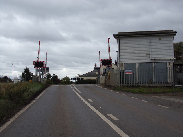
Shippea Hill Level Crossing
On the A1101 Mildenhall Road at the junction with the A1101 Burnt Fen Turnpike near Shippea Hill Railway Station
 Map © Crown Copyright")
TIP: Click the map for more Large scale mapping
- Grid Square
- TL6484, 143 images (more nearby 🔍)
- Photographer
- Geographer (more nearby)
- Date Taken
- Friday, 11 October, 2019 (more nearby)
- Submitted
- Monday, 14 October, 2019
- Subject Location
-
OSGB36:
 TL 64195 84117 [1m precision]
WGS84: 52:25.8226N 0:24.8198E - Camera Location
-
OSGB36: TL 64195 84117
- View Direction
- South-southeast (about 157 degrees)