2019
NZ2647 : West side of Plawsworth
taken 5 years ago, near to Kimblesworth, County Durham, England
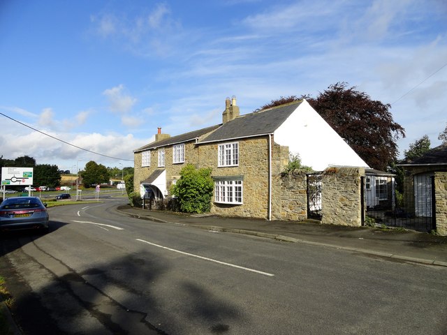
West side of Plawsworth
This is the west end of the village street, Wheatleywell Lane. The slip road onto the A167 can be seen behind the houses.
 Map © Crown Copyright")
TIP: Click the map for more Large scale mapping
- Grid Square
- NZ2647, 36 images (more nearby 🔍)
- Photographer
- Robert Graham (more nearby)
- Date Taken
- Monday, 23 September, 2019 (more nearby)
- Submitted
- Tuesday, 15 October, 2019
- Subject Location
-
OSGB36:
 NZ 2622 4793 [10m precision]
WGS84: 54:49.5318N 1:35.6050W - Camera Location
-
OSGB36: NZ 2623 4791
- View Direction
- North-northwest (about 337 degrees)