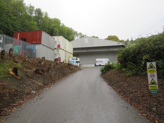
TQ3553 : Quarry Road, near Caterham
taken 5 years ago, near to Godstone, Surrey, England
The North Downs are a ridge of chalk hills in south east England that stretch for 120 miles (190 km) from Farnham in Surrey to the White Cliffs of Dover in Kent. The North Downs lie within two Areas of Outstanding Natural Beauty (AONBs), the Surrey Hills and the Kent Downs. The North Downs Way National Trail runs along the North Downs from Farnham to Dover.
At its highest point, Botley Hill in Surrey is 882ft above sea level.
Extract from Wikipedia Link
The National Cycle Network is a network of cycle routes. It was created by the charity Sustrans Link
(Sustainable Transport), aided by a National Lottery grant.
Many routes aim to minimise contact with motor traffic, though 70% of them are on roads. In some cases the NCN uses pedestrian routes, disused railways, minor roads, canal towpaths, or traffic-calmed routes in towns and cities.
Route 21 of The National Cycle Network runs south from Greenwich out of London through Lewisham (the Waterlink Way) to Crawley, and then via East Grinstead and Eridge to Heathfield and Eastbourne, a distance of 95 miles.
The section between Groombridge and East Grinstead follows the Forest Way. Link
See Link
 Map © Crown Copyright")
- Grid Square
- TQ3553, 103 images (more nearby 🔍)
- Photographer
- Malc McDonald (more nearby)
- Date Taken
- Saturday, 12 October, 2019 (more nearby)
- Submitted
- Wednesday, 23 October, 2019
- Subject Location
-
OSGB36:
 TQ 3518 5355 [10m precision]
WGS84: 51:15.9051N 0:3.8295W - Camera Location
-
OSGB36: TQ 3518 5354
- View Direction
- NORTH (about 0 degrees)