2019
TQ3859 : Scotshall Lane, near Warlingham
taken 4 years ago, near to Farleigh, Surrey, England
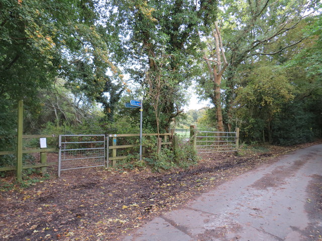
Scotshall Lane, near Warlingham
Scotshall Lane is a minor lane through countryside in north-east Surrey. National Cycle Network route 21 turns off onto a track to the left, as indicated by the blue signs.
The National Cycle Network
The National Cycle Network is a network of cycle routes. It was created by the charity Sustrans Link
(Sustainable Transport), aided by a National Lottery grant.
Many routes aim to minimise contact with motor traffic, though 70% of them are on roads. In some cases the NCN uses pedestrian routes, disused railways, minor roads, canal towpaths, or traffic-calmed routes in towns and cities.
National Cycle Network Route 21
Route 21 of The National Cycle Network runs south from Greenwich out of London through Lewisham (the Waterlink Way) to Crawley, and then via East Grinstead and Eridge to Heathfield and Eastbourne, a distance of 95 miles.
The section between Groombridge and East Grinstead follows the Forest Way. Link
See Link
 Map © Crown Copyright")
TIP: Click the map for more Large scale mapping
- Grid Square
- TQ3859, 77 images (more nearby 🔍)
- Photographer
- Malc McDonald (more nearby)
- Date Taken
- Sunday, 20 October, 2019 (more nearby)
- Submitted
- Monday, 28 October, 2019
- Subject Location
-
OSGB36:
 TQ 3810 5985 [10m precision]
WGS84: 51:19.2600N 0:1.1738W - Camera Location
-
OSGB36: TQ 3809 5986
- View Direction
- Southeast (about 135 degrees)