2019
SE2335 : Footpath off Leeds and Bradford Road
taken 4 years ago, near to Farsley, Leeds, England
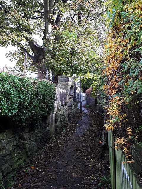
Footpath off Leeds and Bradford Road
This footpath probably predates both the factory to the right SE2335 : Round the back of Alfred Brown's works and the housing to the left, as it appears on early 20th century maps and still marks the border between the ecclesiastical parishes of Stanningley (right) and Bramley (left).
 Map © Crown Copyright")
TIP: Click the map for more Large scale mapping
- Grid Square
- SE2335, 374 images (more nearby 🔍)
- Photographer
- Stephen Craven (more nearby)
- Date Taken
- Sunday, 3 November, 2019 (more nearby)
- Submitted
- Monday, 4 November, 2019
- Subject Location
-
OSGB36:
 SE 2341 3516 [10m precision]
WGS84: 53:48.7322N 1:38.7573W - Camera Location
-
OSGB36: SE 2340 3516
- View Direction
- East-northeast (about 67 degrees)