2019
Q4102 : Slea Head Drive (R559) towards Dingle
taken 5 years ago, 3 km from Dingle, Co Kerry, Ireland
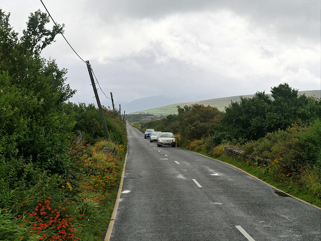
Slea Head Drive (R559) towards Dingle
The Slea Head Drive (Slí Cheann Sléibhe) is a circular route that begins and ends in Dingle. It takes in a large number of attractions and stunning views on the western end of the Dingle Peninsula and forms part of the Wild Atlantic Way. Drivers are strongly advised to travel clockwise in order to avoid meeting the large tour buses that frequent the route during the summer. Part of the Slea Head cliff road is very narrow and single lane only.
See other images of The Slea Head Drive
See other images of The Slea Head Drive
Loading map... (JavaScript required)
- Grid Square
- Q4102 (more nearby 🔍)
- Photographer
- David Dixon (more nearby)
- Date Taken
- Wednesday, 14 August, 2019 (more nearby)
- Submitted
- Friday, 8 November, 2019
- Subject Location
-
Irish:
 Q 418 028 [100m precision]
WGS84: 52:9.3192N 10:18.6686W - Camera Location
-
Irish: Q 418 029
- View Direction
- Southeast (about 135 degrees)