2019
TQ2881 : Picton Place
taken 4 years ago, near to Marylebone, Westminster, England
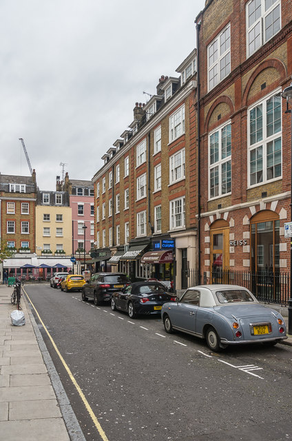
Picton Place
Street connecting Duke Street and James Street, originally named Gray Street. The current name refers to Thomas Picton, a general who died at the Battle of Waterloo lived near here, with the old name referring to Edward Gray, a leaseholder of the 18th century.
 Map © Crown Copyright")
TIP: Click the map for more Large scale mapping
- Grid Square
- TQ2881, 1860 images (more nearby 🔍)
- Photographer
- Ian Capper (more nearby)
- Date Taken
- Friday, 8 November, 2019 (more nearby)
- Submitted
- Sunday, 10 November, 2019
- Subject Location
-
OSGB36:
 TQ 283 812 [100m precision]
WGS84: 51:30.9182N 0:9.0614W - Camera Location
-
OSGB36: TQ 283 812
- View Direction
- EAST (about 90 degrees)