2019
SJ8384 : Holly Lane junction with Hollin Lane
taken 4 years ago, near to Styal, Cheshire East, England
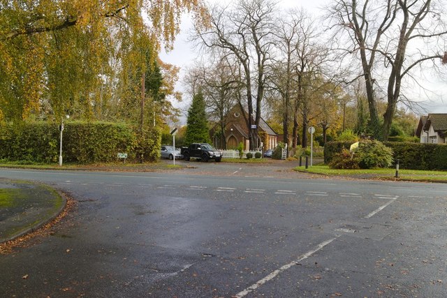
Holly Lane junction with Hollin Lane
 Map © Crown Copyright")
TIP: Click the map for more Large scale mapping
- Grid Square
- SJ8384, 45 images (more nearby 🔍)
- Photographer
- Mark Anderson (more nearby)
- Date Taken
- Tuesday, 12 November, 2019 (more nearby)
- Submitted
- Sunday, 17 November, 2019
- Subject Location
-
OSGB36:
 SJ 8379 8428 [10m precision]
WGS84: 53:21.3090N 2:14.7001W - Camera Location
-
OSGB36: SJ 8376 8427
- View Direction
- East-northeast (about 67 degrees)