2019

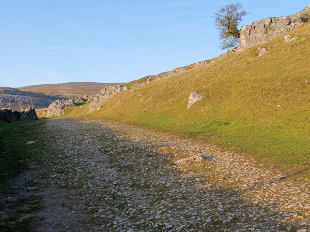
SD6975 : Twisleton Lane

taken 4 years ago, 3 km from Ingleton, North Yorkshire, England

This is 1 of 8 images, with title Twisleton Lane in this square
Twisleton Lane
Twisleton Lane
An old Roman road across the moorland above Ingleton forms part of the Ingleton Waterfalls trail by providing a route between the River Twiss and River Doe.
The Ingleton Waterfalls Trail :: SD6973

Ingleton Waterfalls Trail is a circular walking route which begins and ends in the village of Ingleton. It is claimed (and I wouldn’t argue) that the trail, approximately 8km/5 miles long and with a vertical rise of 554 feet, has some of the most spectacular waterfall and woodland scenery in the north of England. The trail follows a well-defined footpath which runs as close as possible to the edge of the rivers Twiss and Doe. The path includes a large number of steps and it is advisable that visitors wear walking boots or strong shoes.

The trail, which is now managed by the Ingleton Scenery Company LinkExternal link , was first opened to the public on Good Friday, 11 April 1885 LinkExternal link following a number of articles in the Lancaster Guardian and other local newspapers about the scenery in and around Ingleton. The resultant public interest led to the creation of the trail in an area which had previously been hidden from view. Paths and bridges were built and the trail opened The presence of Ingleton railway station played a major role in the early success of the trail, attracting visitors from Bradford, Manchester and Leeds (during June 1888, 3840 people visited Ingleton in one day alone).

The trail is on private land and an entrance fee is charged (£7 per adult/£3 per child in 2019) LinkExternal link .


Creative Commons Licence [Some Rights Reserved]   © Copyright David Dixon and licensed for reuse under this Creative Commons Licence.
Geographical Context: Historic sites and artefacts Uplands Paths Moorland Camera: Panasonic DC-G9 other tags: Yorkshire Dales Roman Road Moorland Hill Footpath Track Path Ingleton Waterfalls Trail Click a tag, to view other nearby images.
1:50,000 Modern Day Landranger(TM) Map © Crown Copyright
+
+
1:50,000 Modern Day Landranger(TM) Map © Crown Copyright
TIP: Click the map for more Large scale mapping
Grid Square
SD6975, 230 images   (more nearby 🔍)
Photographer
David Dixon   (more nearby)
Date Taken
Sunday, 1 December, 2019   (more nearby)
Submitted
Friday, 6 December, 2019
Subject Location
OSGB36: geotagged! SD 698 754 [100m precision]
WGS84: 54:10.4423N 2:27.7747W
Camera Location
OSGB36: geotagged! SD 698 754
View Direction
North-northwest (about 337 degrees)
Clickable map
+
NW N NE
W Go E
SW S SE
Image Type (about): geograph 
This page has been viewed about 28 times
You are not logged in login | register