2019
NT4899 : Ferry Road, Elie and Earlsferry
taken 4 years ago, near to Earlsferry, Fife, Scotland
This is 1 of 2 images, with title Ferry Road, Elie and Earlsferry in this square
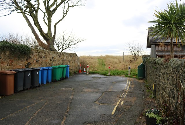
Ferry Road, Elie and Earlsferry
Ferry Road gives pedestrian access to the beach and a series of paths which run through the sand dunes between Chapel Ness and South Street, Elie.
See Elie and Earlsferry article Link
See Elie and Earlsferry article Link
 Map © Crown Copyright")
TIP: Click the map for more Large scale mapping
- Grid Square
- NT4899, 149 images (more nearby 🔍)
- Photographer
- Bill Kasman (more nearby)
- Date Taken
- Friday, 6 December, 2019 (more nearby)
- Submitted
- Saturday, 7 December, 2019
- Subject Location
-
OSGB36:
 NT 4845 9990 [10m precision]
WGS84: 56:11.3351N 2:49.9307W - Camera Location
-
OSGB36: NT 48444 99921
- View Direction
- Southeast (about 135 degrees)