2019
ST7469 : Junction, Ashcombe Farm
taken 4 years ago, near to Langridge, Bath And North East Somerset, England
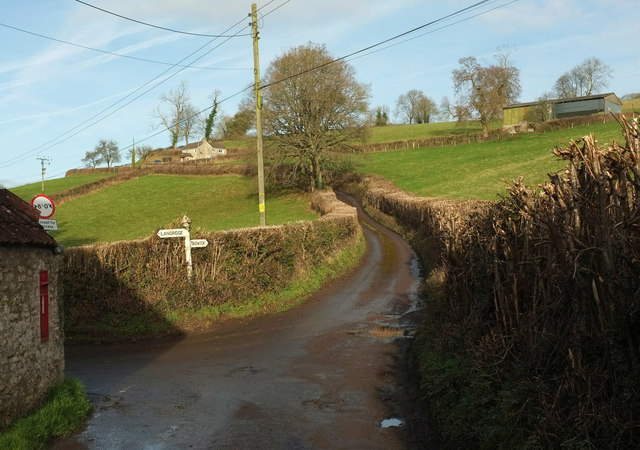
Junction, Ashcombe Farm
Tadwick Lane passes Langridge lane on the left. Predictably, each lane leads to the hamlet after which it is named. On the left, against the wall of a farm building, is George V postbox BA1 249. Up the hill is Croft End.
 Map © Crown Copyright")
TIP: Click the map for more Large scale mapping
- Grid Square
- ST7469, 54 images (more nearby 🔍)
- Photographer
- Derek Harper (more nearby)
- Date Taken
- Saturday, 7 December, 2019 (more nearby)
- Submitted
- Thursday, 12 December, 2019
- Subject Location
-
OSGB36:
 ST 7465 6952 [10m precision]
WGS84: 51:25.4470N 2:21.9588W - Camera Location
-
OSGB36: ST 7466 6950
- View Direction
- North-northwest (about 337 degrees)