2007
NT8005 : A drystone wall at Cottonshope Head
taken 16 years ago, 5 km NE of Byrness, Northumberland, England
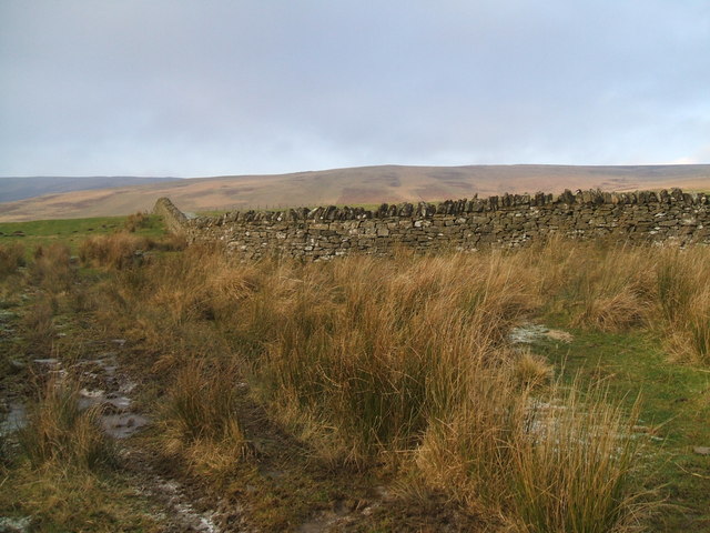
A drystone wall at Cottonshope Head
This is a pretty bleak area with very few features. The wall forms an enclosure at Cottonshope Head. Possibly this is where sheep may be confined when lambing or when the military are firing on the ranges.
 Map © Crown Copyright")
TIP: Click the map for more Large scale mapping
- Grid Square
- NT8005, 5 images (more nearby 🔍)
- Photographer
- No Body (more nearby)
- Date Taken
- Sunday, 16 December, 2007 (more nearby)
- Submitted
- Sunday, 16 December, 2007
- Subject Location
-
OSGB36:
 NT 8009 0598 [10m precision]
WGS84: 55:20.8464N 2:18.9303W - Camera Location
-
OSGB36: NT 8010 0596
- View Direction
- North-northwest (about 337 degrees)