2019
SK2277 : Mompesson's Well near Eyam
taken 4 years ago, near to Eyam, Derbyshire, England
This is 1 of 3 images, with title Mompesson's Well near Eyam in this square
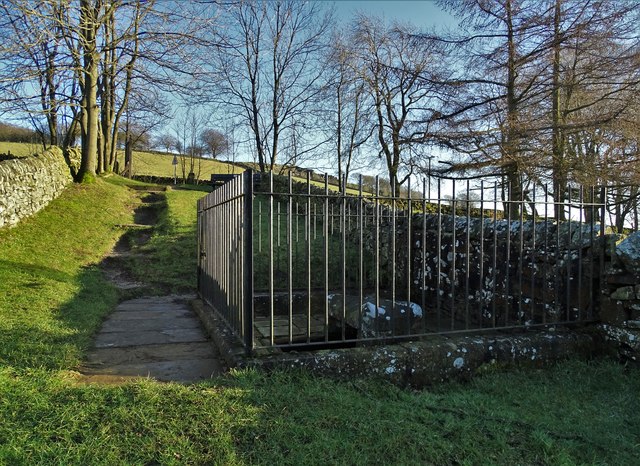
Mompesson's Well near Eyam
The earliest picture of this historic site in the annals of Geograph was taken in September 1987 by Tom Courtney - submitted in August 2005. See Link The well is named after The Reverend William Mompesson (16391709) who convinced the parishioners of Eyam to put the village into quarantine when plague struck the village in 1665.
When I visited the site on December 30th 2019, I was surprised to see a peacock butterfly sunning itself on the stone wall but it flew away before I could get my camera ready to snap it.
When I visited the site on December 30th 2019, I was surprised to see a peacock butterfly sunning itself on the stone wall but it flew away before I could get my camera ready to snap it.
 Map © Crown Copyright")
TIP: Click the map for more Large scale mapping
- Grid Square
- SK2277, 42 images (more nearby 🔍)
- Photographer
- Neil Theasby (more nearby)
- Date Taken
- Monday, 30 December, 2019 (more nearby)
- Submitted
- Tuesday, 31 December, 2019
- Subject Location
-
OSGB36:
 SK 2229 7719 [10m precision]
WGS84: 53:17.4725N 1:40.0246W - Camera Location
-
OSGB36: SK 22277 77197
- View Direction
- EAST (about 90 degrees)