1995
NH2989 : Lower slopes of Meallan Odhar
taken 29 years ago, near to Meall an Daimh Bhig [hill or Mountain], Highland, Great Britain
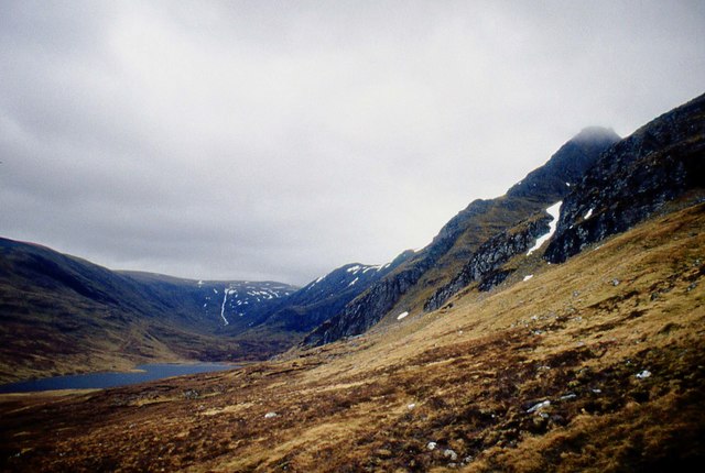
Lower slopes of Meallan Odhar
 Map © Crown Copyright")
TIP: Click the map for more Large scale mapping
- Grid Square
- NH2989, 4 images (more nearby 🔍)
- Photographer
- Alan Reid (more nearby)
- Date Taken
- Friday, 14 April, 1995 (more nearby)
- Submitted
- Sunday, 5 January, 2020
- Subject Location
-
OSGB36:
 NH 2941 8949 [10m precision]
WGS84: 57:51.7336N 4:52.6255W - Camera Location
-
OSGB36: NH 2931 8975
- View Direction
- South-southeast (about 157 degrees)