TQ2767 : Wandle Trail near Mitcham
taken 7 years ago, near to Morden, Merton, England
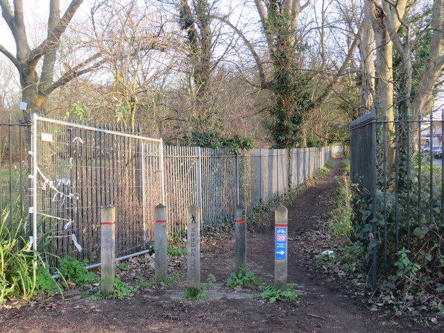

The Wandle Trail is a 12.5-mile (20 km) walking and cycling trail that follows the River Wandle from Croydon to Wandsworth in south-west London.
National Cycle Network route 20 will, once completed, link Wandsworth in south London with Brighton. It will be 45 miles long. The sections between Wandsworth and Carshalton, and between Crawley and Brighton, are already completed.
More information is avaialble from Sustrans: Link
The National Cycle Network is a network of cycle routes. It was created by the charity Sustrans Link
(Sustainable Transport), aided by a National Lottery grant.
Many routes aim to minimise contact with motor traffic, though 70% of them are on roads. In some cases the NCN uses pedestrian routes, disused railways, minor roads, canal towpaths, or traffic-calmed routes in towns and cities.


- Grid Square
- TQ2767, 125 images (more nearby 🔍)
- Photographer
- Malc McDonald (more nearby)
- Date Taken
- Saturday, 4 January, 2020 (more nearby)
- Submitted
- Sunday, 5 January, 2020
- Subject Location
-
OSGB36:
 TQ 2717 6779
[10m precision]
WGS84: 51:23.6942N 0:10.4094W - Camera Location
-
OSGB36:
TQ 2717 6779
- View Direction
- Southeast (about 135 degrees)


