2007
TQ6077 : Fiddler's Reach, Grays
taken 16 years ago, near to Grays, Thurrock, England
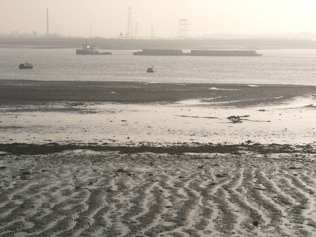
Fiddler's Reach, Grays
At 1250 metres this is one of the widest parts of the Thames before it becomes an estuary
 Map © Crown Copyright")
TIP: Click the map for more Large scale mapping
- Grid Square
- TQ6077, 78 images (more nearby 🔍)
- Photographer
- John Winfield (more nearby)
- Date Taken
- Wednesday, 19 December, 2007 (more nearby)
- Submitted
- Wednesday, 19 December, 2007
- Subject Location
-
OSGB36:
 TQ 605 773 [100m precision]
WGS84: 51:28.3408N 0:18.5896E - Camera Location
-
OSGB36: TQ 603 776
- View Direction
- South-southeast (about 157 degrees)