2019
NS3859 : A737 West of Howwood
taken 5 years ago, near to Howwood, Renfrewshire, Scotland
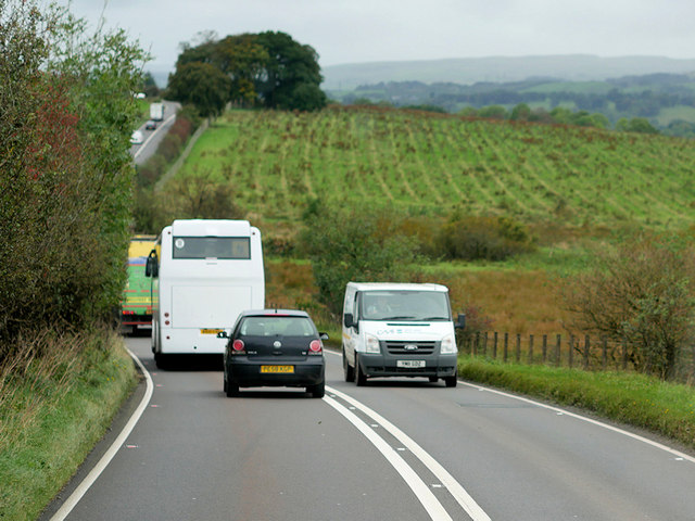
A737 West of Howwood
The A737 is a primary route between the Greater Glasgow conurbation and the North Ayrshire coast. It runs for approximately 25½ miles between Glasgow Airport and Shewalton, near Irvine.
See other images of The A737
See other images of The A737
 Map © Crown Copyright")
TIP: Click the map for more Large scale mapping
- Grid Square
- NS3859, 6 images (more nearby 🔍)
- Photographer
- David Dixon (more nearby)
- Date Taken
- Thursday, 26 September, 2019 (more nearby)
- Submitted
- Thursday, 30 January, 2020
- Subject Location
-
OSGB36:
 NS 382 597 [100m precision]
WGS84: 55:48.2218N 4:34.9150W - Camera Location
-
OSGB36: NS 383 597
- View Direction
- West-southwest (about 247 degrees)