2020
TQ1248 : Standing maize crop north of Wotton church
taken 4 years ago, near to Wotton, Surrey, England
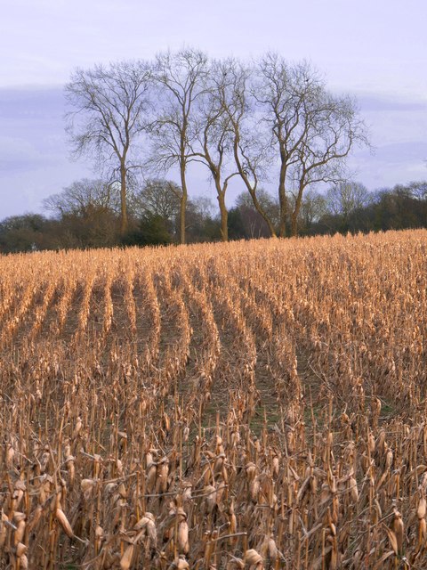
Standing maize crop north of Wotton church
 Map © Crown Copyright")
TIP: Click the map for more Large scale mapping
- Grid Square
- TQ1248, 66 images (more nearby 🔍)
- Photographer
- Stefan Czapski (more nearby)
- Date Taken
- Wednesday, 29 January, 2020 (more nearby)
- Submitted
- Friday, 31 January, 2020
- Subject Location
-
OSGB36:
 TQ 1253 4813 [10m precision]
WGS84: 51:13.2771N 0:23.4013W - Camera Location
-
OSGB36: TQ 1241 4809
- View Direction
- East-northeast (about 67 degrees)