2020
NY0066 : Information point, Caerlaverock NNR
taken 4 years ago, 3 km from Overton, Dumfries And Galloway, Scotland
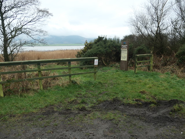
Information point, Caerlaverock NNR
At a lay-by on the B725, between Fishers' Bush and Scar Point.
 Map © Crown Copyright")
TIP: Click the map for more Large scale mapping
- Grid Square
- NY0066, 28 images (more nearby 🔍)
- Photographer
- Christine Johnstone (more nearby)
- Date Taken
- Thursday, 23 January, 2020 (more nearby)
- Submitted
- Sunday, 9 February, 2020
- Subject Location
-
OSGB36:
 NY 0054 6606 [10m precision]
WGS84: 54:58.7508N 3:33.3344W - Camera Location
-
OSGB36: NY 0055 6607
- View Direction
- West-southwest (about 247 degrees)