2020
SW9972 : Riverside path, Wadebridge
taken 4 years ago, near to Wadebridge, Cornwall, England
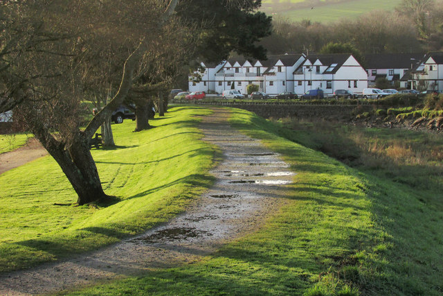
Riverside path, Wadebridge
Along the levee by the River Camel (right) and seen from Anneka's bridge.
 Map © Crown Copyright")
TIP: Click the map for more Large scale mapping
- Grid Square
- SW9972, 236 images (more nearby 🔍)
- Photographer
- Derek Harper (more nearby)
- Date Taken
- Saturday, 8 February, 2020 (more nearby)
- Submitted
- Wednesday, 12 February, 2020
- Subject Location
-
OSGB36:
 SW 9941 7207 [10m precision]
WGS84: 50:30.8380N 4:49.8411W - Camera Location
-
OSGB36: SW 9938 7215
- View Direction
- South-southeast (about 157 degrees)