2020
SN7277 : Fields west of Devil's Bridge
taken 4 years ago, near to Devil's Bridge, Ceredigion/Sir Ceredigion, Wales
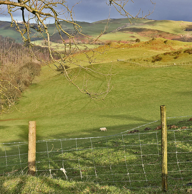
Fields west of Devil's Bridge
 Map © Crown Copyright")
TIP: Click the map for more Large scale mapping
- Grid Square
- SN7277, 179 images (more nearby 🔍)
- Photographer
- Nigel Brown (more nearby)
- Date Taken
- Thursday, 27 February, 2020 (more nearby)
- Submitted
- Thursday, 27 February, 2020
- Subject Location
-
OSGB36:
 SN 7295 7707 [10m precision]
WGS84: 52:22.6134N 3:52.0707W - Camera Location
-
OSGB36: SN 7285 7703
- View Direction
- East-northeast (about 67 degrees)