2020
SX7881 : Field by Wray Valley Trail
taken 4 years ago, near to Lustleigh, Devon, England
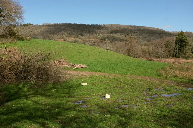
Field by Wray Valley Trail
Looking right from the stretch of trail shown in SX7881 : Wray Valley Trail at Lustleigh. The tree at top left is beside the line of the dismantled railway, followed by the recently-completed trail.
 Map © Crown Copyright")
TIP: Click the map for more Large scale mapping
- Grid Square
- SX7881, 287 images (more nearby 🔍)
- Photographer
- Derek Harper (more nearby)
- Date Taken
- Monday, 16 March, 2020 (more nearby)
- Submitted
- Friday, 20 March, 2020
- Subject Location
-
OSGB36:
 SX 787 815 [100m precision]
WGS84: 50:37.2332N 3:42.9649W - Camera Location
-
OSGB36: SX 7870 8150
- View Direction
- Northeast (about 45 degrees)