2020
TA0113 : Worlaby: Top Road
taken 4 years ago, near to Worlaby, North Lincolnshire, England
This is 1 of 4 images, with title starting with Worlaby in this square
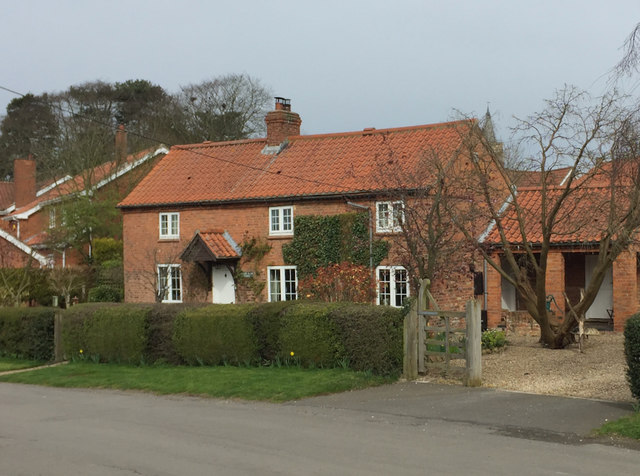
Worlaby: Top Road
House at the junction with The Hill
 Map © Crown Copyright")
TIP: Click the map for more Large scale mapping
- Grid Square
- TA0113, 55 images (more nearby 🔍)
- Photographer
- Paul Harrop (more nearby)
- Date Taken
- Thursday, 19 March, 2020 (more nearby)
- Submitted
- Saturday, 21 March, 2020
- Subject Location
-
OSGB36:
 TA 0157 1387 [10m precision]
WGS84: 53:36.6927N 0:27.9724W - Camera Location
-
OSGB36: TA 0158 1385
- View Direction
- North-northwest (about 337 degrees)