2019
TR1558 : Path to Military Road
taken 5 years ago, near to Canterbury, Kent, England
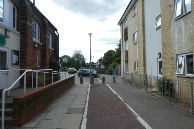
Path to Military Road
Linking through from Brymore Road.
 Map © Crown Copyright")
TIP: Click the map for more Large scale mapping
- Grid Square
- TR1558, 430 images (more nearby 🔍)
- Photographer
- DS Pugh (more nearby)
- Date Taken
- Tuesday, 20 August, 2019 (more nearby)
- Submitted
- Monday, 23 March, 2020
- Subject Location
-
OSGB36:
 TR 1590 5860 [10m precision]
WGS84: 51:17.1360N 1:5.6836E - Camera Location
-
OSGB36: TR 15923 58619
- View Direction
- Southwest (about 225 degrees)