ST4888 : Temporary barriers enclosing the War Memorial Cross in Caldicot
taken 4 years ago, near to Caldicot, Monmouthshire/Sir Fynwy, Wales
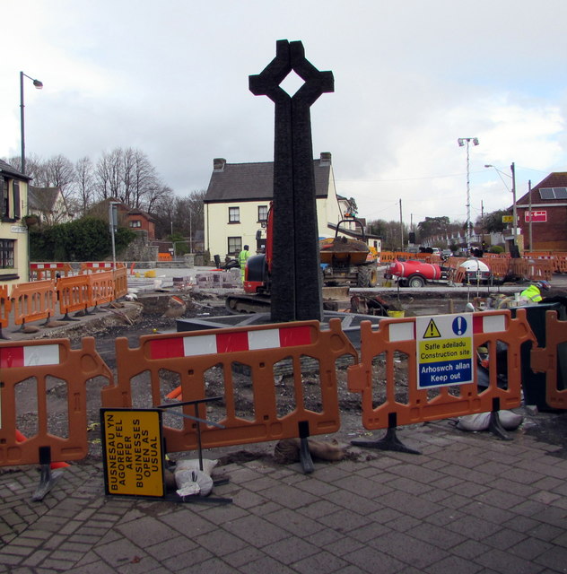
Many war memorials appeared in British towns and cities after the South African War of 1899-1902 (known popularly as the Boer War), but most were constructed after the First World War, known to contemporaries as the Great War (1914-19). These were updated after the Second World War (1939-45), usually by adding a plaque with the names of those killed in that conflict. Almost every town and village in Britain has a memorial erected after the Great War, the commonest types taking the form of a cross, an obelisk or a statue of a soldier. Some occupy a prominent public space; others stand in the local cemetery or can be found inside the local church. Memorials usually commemorate the inhabitants of a particular locality, the former pupils of a school, or the members of a military unit or branch of the armed forces. Other memorials, often bronze plaques placed indoors, commemorate the employees of a private company or public institution.
 Map © Crown Copyright")
- Grid Square
- ST4888, 257 images (more nearby 🔍)
- Photographer
- Jaggery (more nearby)
- Date Taken
- Sunday, 8 March, 2020 (more nearby)
- Submitted
- Tuesday, 24 March, 2020
- Subject Location
-
OSGB36:
 ST 4808 8836 [10m precision]
WGS84: 51:35.5011N 2:45.0524W - Camera Location
-
OSGB36: ST 4807 8835
- View Direction
- Northeast (about 45 degrees)