2020
SE3423 : Hedgehog by the path, Stanley Marsh local nature reserve
taken 4 years ago, near to Stanley, Wakefield, England
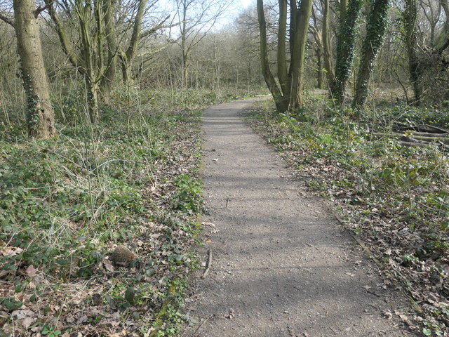
Hedgehog by the path, Stanley Marsh local nature reserve
Snuffling around, a little unsteadily, on a warm afternoon. The reserve is on the site of Victoria No. 1 pit, known locally as Deep Drop pit, because of its 475ft deep mine shaft [about 142 metres]. Victoria Colliery had many pits, and this one closed in the late 1800s [one source says 1887, another 1896]. The land was then farmed, but became flooded in the 1950s, due to poor drainage and mining subsidence. It is now one of Wakefield Council's local nature reserves.
 Map © Crown Copyright")
TIP: Click the map for more Large scale mapping
- Grid Square
- SE3423, 270 images (more nearby 🔍)
- Photographer
- Christine Johnstone (more nearby)
- Date Taken
- Tuesday, 24 March, 2020 (more nearby)
- Submitted
- Thursday, 26 March, 2020
- Subject Location
-
OSGB36:
 SE 3432 2359 [10m precision]
WGS84: 53:42.4568N 1:28.8932W - Camera Location
-
OSGB36: SE 3431 2360
- View Direction
- EAST (about 90 degrees)