2020
NT0310 : A74(M) Northbound
taken 4 years ago, near to Nether Howecleuch, Dumfries And Galloway, Scotland
This is 1 of 5 images, with title starting with A74(M in this square
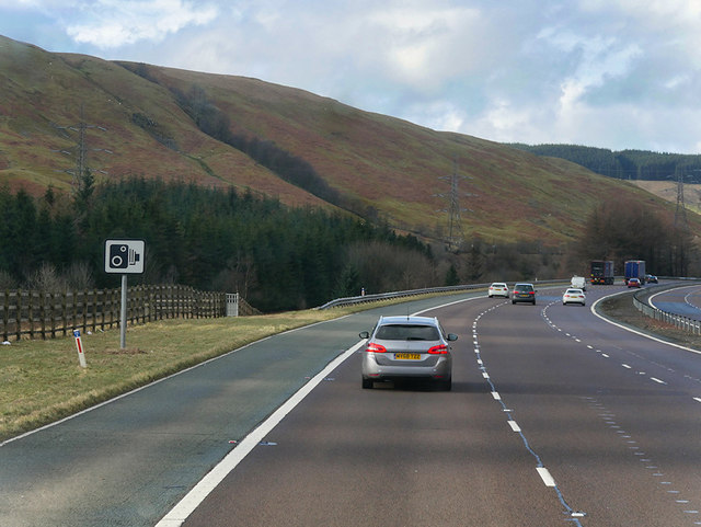
A74(M) Northbound
The A74(M) and M74 form a major motorway which runs for over 80 miles in Scotland. Following an extension opened on 28 June 2011, it connects the M8 motorway west of Glasgow to the English border at Gretna,where it becomes the M6. In conjunction with the M6, it forms one of the two major cross-border routes between Scotland and England. As the motorway is one continuous route and has a continuous junction numbering system, the entire route is often erroneously referred to as M74 although, the section south of Abington (more than half its length) is officially the A74(M).
More information :
Link SABRE Wiki
Link Wikipedia
Link cbrd
See other images of M74 and A74(M) Motorway Route
More information :
Link
Link
Link
See other images of M74 and A74(M) Motorway Route
 Map © Crown Copyright")
TIP: Click the map for more Large scale mapping
- Grid Square
- NT0310, 24 images (more nearby 🔍)
- Photographer
- David Dixon (more nearby)
- Date Taken
- Monday, 2 March, 2020 (more nearby)
- Submitted
- Monday, 6 April, 2020
- Subject Location
-
OSGB36:
 NT 039 103 [100m precision]
WGS84: 55:22.6779N 3:31.0516W - Camera Location
-
OSGB36: NT 039 103
- View Direction
- North-northwest (about 337 degrees)