2020
NS6040 : Hareshawhill farm from the Calder Water Wind Farm
taken 4 years ago, near to Stobieside, South Lanarkshire, Scotland
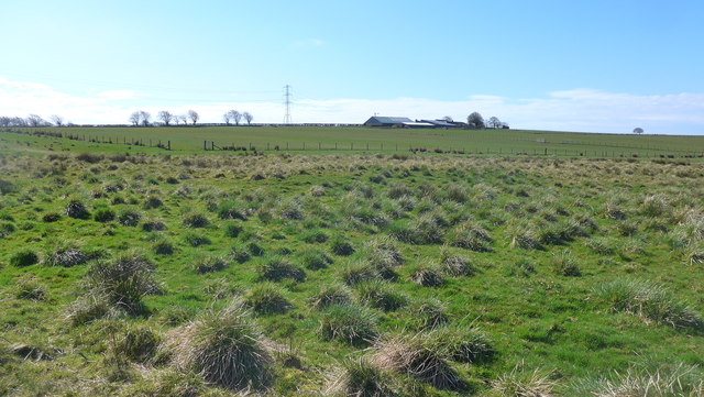
Hareshawhill farm from the Calder Water Wind Farm
View over rough grazing to the farm buildings.
 Map © Crown Copyright")
TIP: Click the map for more Large scale mapping
- Grid Square
- NS6040, 7 images (more nearby 🔍)
- Photographer
- Gordon Brown (more nearby)
- Date Taken
- Saturday, 18 April, 2020 (more nearby)
- Submitted
- Tuesday, 21 April, 2020
- Subject Location
-
OSGB36:
 NS 6091 4050 [10m precision]
WGS84: 55:38.2856N 4:12.6749W - Camera Location
-
OSGB36: NS 6097 4093
- View Direction
- SOUTH (about 180 degrees)