2020
SJ4092 : Leyfield Triangle
taken 4 years ago, near to West Derby, Liverpool, England
This is 1 of 2 images, with title Leyfield Triangle in this square
Leyfield Triangle
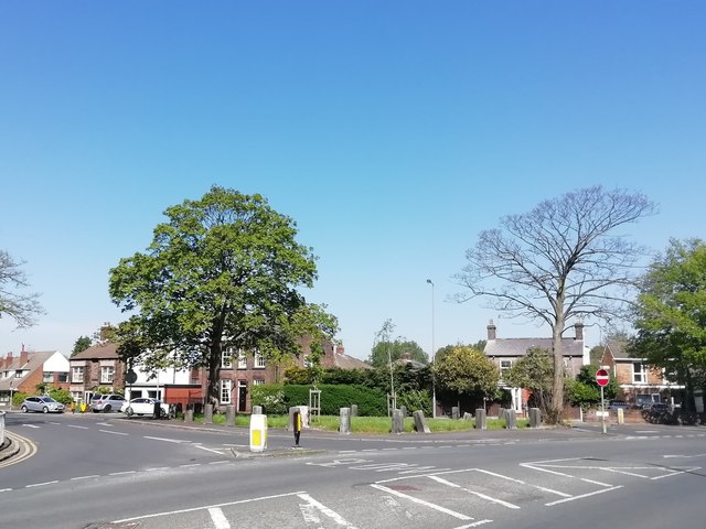
This part of West Derby has changed very little in almost two centuries, the junction of Honey's Green Lane with Leyfield Road (previously Town Row) and Yewtree Lane was formerly known as Honey's Green. Leyfield Priory once occupied the left hand corner where there is now an ugly pub and a couple of shops. The priory was a castellated mansion built by Lord Mayor Peter Thompson who died in of bronchitis in 1876 whilst in office. He was a railway engineer responsible for many important local construction projects. Link (Archive Link )
The house was demolished in the 1950's.
The house was demolished in the 1950's.
 Map © Crown Copyright")
TIP: Click the map for more Large scale mapping
- Grid Square
- SJ4092, 13 images (more nearby 🔍)
- Photographer
- Sue Adair (more nearby)
- Date Taken
- Friday, 24 April, 2020 (more nearby)
- Submitted
- Sunday, 26 April, 2020
- Subject Location
-
OSGB36:
 SJ 4090 9239 [10m precision]
WGS84: 53:25.4985N 2:53.4508W - Camera Location
-
OSGB36: SJ 4096 9234
- View Direction
- Northwest (about 315 degrees)