2020
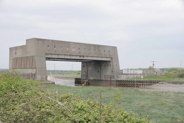
TQ7484 : Fobbing Barrier
taken 4 years ago, near to Fobbing, Thurrock, England
This is 1 of 2 images, with title Fobbing Barrier in this square
 Map © Crown Copyright")
TIP: Click the map for more Large scale mapping
- Grid Square
- TQ7484, 21 images (more nearby 🔍)
- Photographer
- Glyn Baker (more nearby)
- Date Taken
- Monday, 27 April, 2020 (more nearby)
- Submitted
- Tuesday, 28 April, 2020
- Subject Location
-
OSGB36:
 TQ 7404 8430 [10m precision]
WGS84: 51:31.8470N 0:30.4635E - Camera Location
-
OSGB36: TQ 7406 8420
- View Direction
- NORTH (about 0 degrees)