2020
NZ0838 : Path approaching Redgate Head
taken 4 years ago, near to Wolsingham, County Durham, England
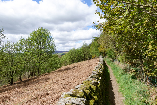
Path approaching Redgate Head
Redgate Head is the location on the B6296 where the road reaches its high point having climbed from Wolsingham. It's hidden from view by the distant trees beyond the dead bracken.
 Map © Crown Copyright")
TIP: Click the map for more Large scale mapping
- Grid Square
- NZ0838, 20 images (more nearby 🔍)
- Photographer
- Trevor Littlewood (more nearby)
- Date Taken
- Monday, 27 April, 2020 (more nearby)
- Submitted
- Wednesday, 29 April, 2020
- Subject Location
-
OSGB36:
 NZ 0890 3807 [10m precision]
WGS84: 54:44.2515N 1:51.7977W - Camera Location
-
OSGB36: NZ 0896 3803
- View Direction
- Northwest (about 315 degrees)