2020
TA0229 : Davis's Close, Kirk Ella
taken 4 years ago, near to Kirk Ella, East Riding of Yorkshire, England
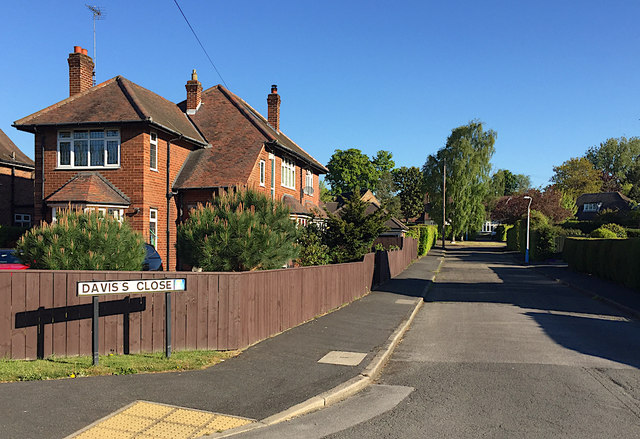
Davis's Close, Kirk Ella
Short cul-de-sac off the north side of West Ella Road
 Map © Crown Copyright")
TIP: Click the map for more Large scale mapping
- Grid Square
- TA0229, 93 images (more nearby 🔍)
- Photographer
- Paul Harrop (more nearby)
- Date Taken
- Wednesday, 6 May, 2020 (more nearby)
- Submitted
- Wednesday, 6 May, 2020
- Subject Location
-
OSGB36:
 TA 0241 2952 [10m precision]
WGS84: 53:45.1196N 0:26.9013W - Camera Location
-
OSGB36: TA 02428 29487
- View Direction
- North-northwest (about 337 degrees)