2020
NZ3375 : Public Footpath, Holywell Dene
taken 4 years ago, near to Hartley, Northumberland, England
This is 1 of 2 images, with title Public Footpath, Holywell Dene in this square
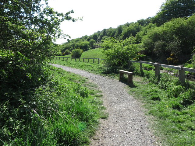
Public Footpath, Holywell Dene
This public footpath, which at this point is not shown on the current Ordnance Survey map of the area, follows the Seaton Burn downstream as far as Seaton Sluice. The footpath also forms part of the 'Tyne & Wear Heritage Way', an 80 mile route taking in the rich historic and industrial heritage of the area. The way is broken down into nine convenient sections that can be walked at any time, and in any order. For a selection of detailed free to download walking routes in the area visit Link
 Map © Crown Copyright")
TIP: Click the map for more Large scale mapping
- Grid Square
- NZ3375, 59 images (more nearby 🔍)
- Photographer
- Geoff Holland (more nearby)
- Date Taken
- Wednesday, 6 May, 2020 (more nearby)
- Submitted
- Wednesday, 6 May, 2020
- Subject Location
-
OSGB36:
 NZ 3367 7552 [10m precision]
WGS84: 55:4.3803N 1:28.4543W - Camera Location
-
OSGB36: NZ 3366 7556
- View Direction
- SOUTH (about 180 degrees)