2020
SE1378 : Wall on Pott Ridge with Benchmark
taken 4 years ago, 3 km from Colsterdale, North Yorkshire, England
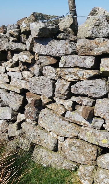
Wall on Pott Ridge with Benchmark
This benchmark is near where the moor wall intersects with a dividing field wall.
 Map © Crown Copyright")
TIP: Click the map for more Large scale mapping
- Grid Square
- SE1378, 10 images (more nearby 🔍)
- Photographer
- Matthew Hatton (more nearby)
- Date Taken
- Wednesday, 6 May, 2020 (more nearby)
- Submitted
- Thursday, 7 May, 2020
- Subject Location
-
OSGB36:
 SE 1387 7803 [10m precision]
WGS84: 54:11.8705N 1:47.3339W - Camera Location
-
OSGB36: SE 1388 7802
- View Direction
- North-northwest (about 337 degrees)