2013
G5675 : A long way down from the cliff road
taken 11 years ago, 5 km SW of Carrick, Co Donegal, Ireland
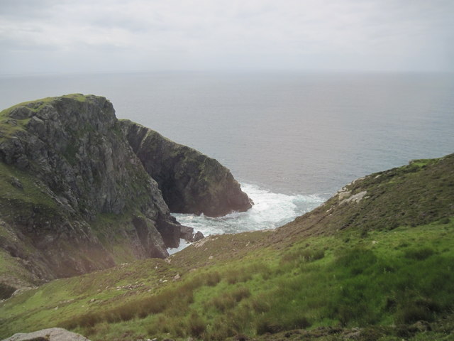
A long way down from the cliff road
The road to the car park near Slieve League viewing platform contours around the cliff top. Looking over Donegal Bay
Loading map... (JavaScript required)
- Grid Square
- G5675, 40 images (more nearby 🔍)
- Photographer
- Martin Dawes (more nearby)
- Date Taken
- Monday, 1 July, 2013 (more nearby)
- Submitted
- Friday, 15 May, 2020
- Subject Location
-
Irish:
 G 561 751 [100m precision]
WGS84: 54:37.3421N 8:40.8217W - Camera Location
-
Irish: G 562 754
- View Direction
- South-southwest (about 202 degrees)