2020
NH6534 : Footpath to Duntelchaig
taken 4 years ago, 3 km from Farr, Highland, Scotland
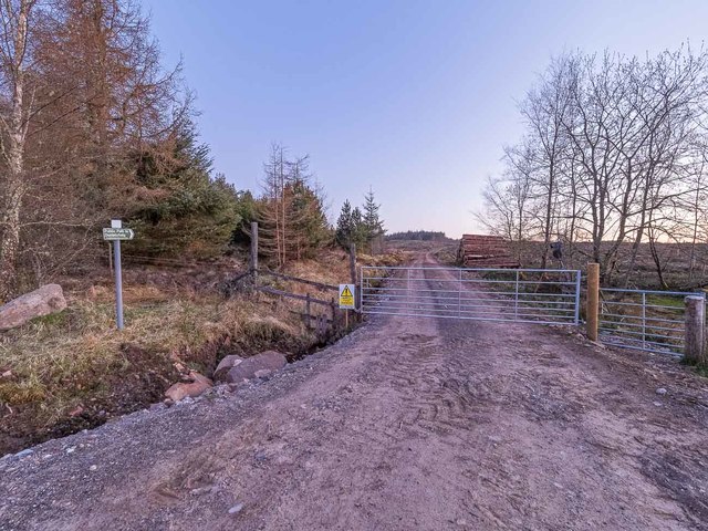
Footpath to Duntelchaig
Clear-felling of the forest has meant that the forestry road and footpath has been upgraded to take the 44t timber trucks
 Map © Crown Copyright")
TIP: Click the map for more Large scale mapping
- Grid Square
- NH6534, 16 images (more nearby 🔍)
- Photographer
- valenta (more nearby)
- Date Taken
- Saturday, 18 April, 2020 (more nearby)
- Submitted
- Sunday, 17 May, 2020
- Subject Location
-
OSGB36:
 NH 6538 3415 [10m precision]
WGS84: 57:22.6692N 4:14.4361W - Camera Location
-
OSGB36: NH 6538 3415
- View Direction
- Southwest (about 225 degrees)