2020
NH6533 : Clear Fell near Clachindruim
taken 4 years ago, 3 km from Farr, Highland, Scotland
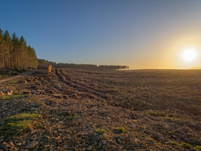
Clear Fell near Clachindruim
Clear-fell by the side of the footpath from Bunachton to Duntelchaig
 Map © Crown Copyright")
TIP: Click the map for more Large scale mapping
- Grid Square
- NH6533, 27 images (more nearby 🔍)
- Photographer
- valenta (more nearby)
- Date Taken
- Saturday, 18 April, 2020 (more nearby)
- Submitted
- Sunday, 17 May, 2020
- Subject Location
-
OSGB36:
 NH 6511 3395 [10m precision]
WGS84: 57:22.5567N 4:14.6987W - Camera Location
-
OSGB36: NH 65154 33969
- View Direction
- West-southwest (about 247 degrees)