2020
SK6736 : Pond number 6
taken 4 years ago, near to Cropwell Butler, Nottinghamshire, England
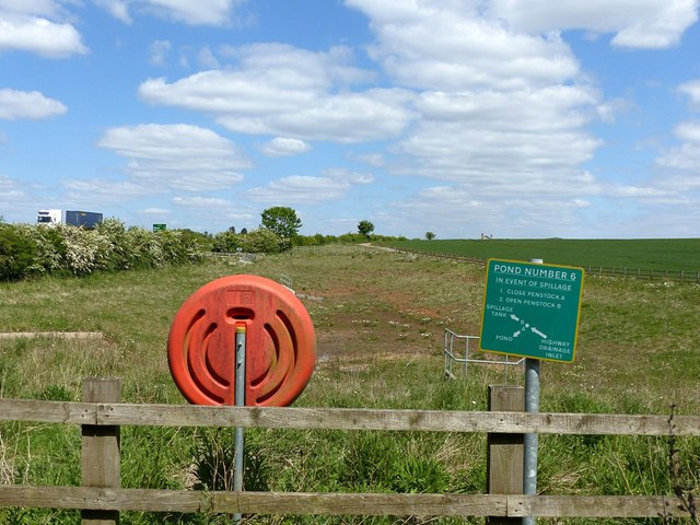
Pond number 6
Run-off catchment for the A46 (left). Not obviously a pond following the lack of significant rainfall in the previous weeks.
The A46
The A46 is an important cross-country route which runs from the West Country to the North Sea. It starts to the east of Bath in Somerset and ends in Cleethorpes in North East Lincolnshire. It is no longer a continuous route as large portions of the old (1923) road have been lost, bypassed, or replaced by motorway development. For more detail, see Link
(Wikipedia Article).
![Creative Commons Licence [Some Rights Reserved]](https://s1.geograph.org.uk/img/somerights20.gif)


TIP: Click the map for more Large scale mapping
- Grid Square
- SK6736, 85 images (more nearby 🔍)
- Photographer
- Alan Murray-Rust (more nearby)
- Date Taken
- Thursday, 14 May, 2020 (more nearby)
- Submitted
- Sunday, 17 May, 2020
- Subject Location
-
OSGB36:
 SK 6724 3690 [10m precision]
WGS84: 52:55.5187N 1:0.0753W - Camera Location
-
OSGB36: SK 6722 3684
- View Direction
- North-northeast (about 22 degrees)


