2014
TR2655 : Buckland Lane
taken 10 years ago, near to Goodnestone, Kent, England
This is 1 of 2 images, with title Buckland Lane in this square
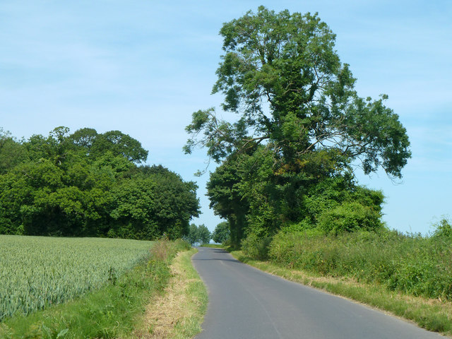
Buckland Lane
Towards Staple, the wood is Crixhall Rough.
 Map © Crown Copyright")
TIP: Click the map for more Large scale mapping
- Grid Square
- TR2655, 32 images (more nearby 🔍)
- Photographer
- Robin Webster (more nearby)
- Date Taken
- Thursday, 12 June, 2014 (more nearby)
- Submitted
- Monday, 18 May, 2020
- Subject Location
-
OSGB36:
 TR 2666 5517 [10m precision]
WGS84: 51:15.0378N 1:14.7959E - Camera Location
-
OSGB36: TR 26607 55079
- View Direction
- North-northeast (about 22 degrees)