2020
NZ1215 : Osmond Croft beyond bend in farm road
taken 4 years ago, near to Ovington, County Durham, England
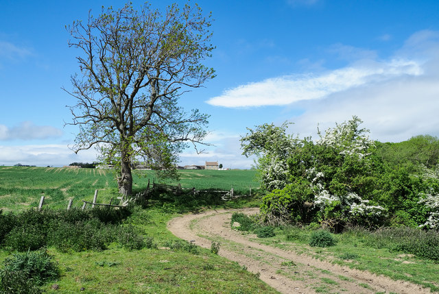
Osmond Croft beyond bend in farm road
The farmhouse and other buildings at Osmond Croft are at the centre of the image. The farm road is also the route of The Teesdale Way.
 Map © Crown Copyright")
TIP: Click the map for more Large scale mapping
- Grid Square
- NZ1215, 8 images (more nearby 🔍)
- Photographer
- Trevor Littlewood (more nearby)
- Date Taken
- Tuesday, 19 May, 2020 (more nearby)
- Submitted
- Thursday, 21 May, 2020
- Subject Location
-
OSGB36:
 NZ 1297 1514 [10m precision]
WGS84: 54:31.8825N 1:48.0655W - Camera Location
-
OSGB36: NZ 1297 1512
- View Direction
- North-northwest (about 337 degrees)