2014
SJ1143 : Aerial image of Carrog
taken 10 years ago, near to Carrog, Denbighshire/Sir Ddinbych, Wales
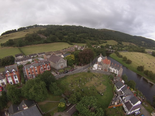
Aerial image of Carrog
aerial view from a UAV / drone of Carrog.
 Map © Crown Copyright")
TIP: Click the map for more Large scale mapping
- Grid Square
- SJ1143, 314 images (more nearby 🔍)
- Photographer
- Phill (more nearby)
- Date Taken
- Monday, 18 August, 2014 (more nearby)
- Submitted
- Thursday, 21 May, 2020
- Subject Location
-
OSGB36:
 SJ 1137 4359 [10m precision]
WGS84: 52:58.9378N 3:19.2937W - Camera Location
-
OSGB36: SJ 1129 4352
- View Direction
- Northeast (about 45 degrees)