2020
TL6211 : River Can Near Pritchard Farm
taken 4 years ago, near to Chalk End, Essex, England
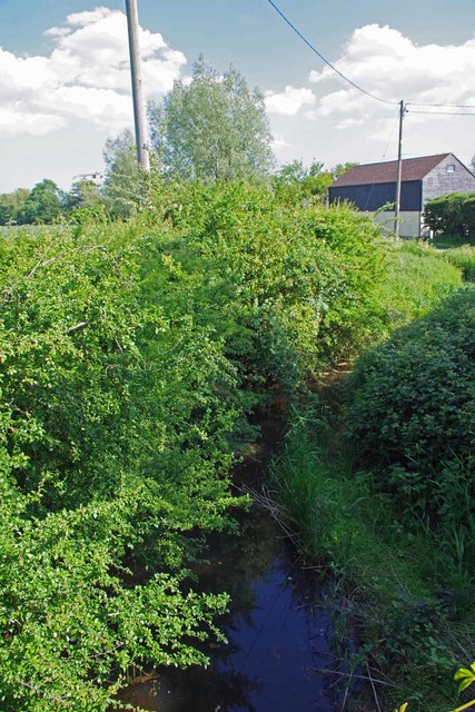
River Can Near Pritchard Farm
Looking Downstream
 Map © Crown Copyright")
TIP: Click the map for more Large scale mapping
- Grid Square
- TL6211, 16 images (more nearby 🔍)
- Photographer
- Glyn Baker (more nearby)
- Date Taken
- Monday, 25 May, 2020 (more nearby)
- Submitted
- Monday, 25 May, 2020
- Subject Location
-
OSGB36:
 TL 6283 1129 [10m precision]
WGS84: 51:46.5956N 0:21.5293E - Camera Location
-
OSGB36: TL 6282 1131
- View Direction
- South-southeast (about 157 degrees)