2019
TQ6737 : A21, Parsonage Woods
taken 5 years ago, near to Lamberhurst, Kent, England
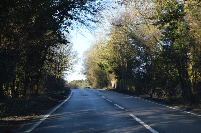
A21, Parsonage Woods
 Map © Crown Copyright")
TIP: Click the map for more Large scale mapping
- Grid Square
- TQ6737, 24 images (more nearby 🔍)
- Photographer
- N Chadwick (more nearby)
- Date Taken
- Sunday, 3 February, 2019 (more nearby)
- Submitted
- Tuesday, 26 May, 2020
- Subject Location
-
OSGB36:
 TQ 6731 3761 [10m precision]
WGS84: 51:6.8017N 0:23.3336E - Camera Location
-
OSGB36: TQ 6735 3760
- View Direction
- West-northwest (about 292 degrees)