2020
SW9548 : Public Bridleway
taken 4 years ago, near to Hewas Water, Cornwall, England
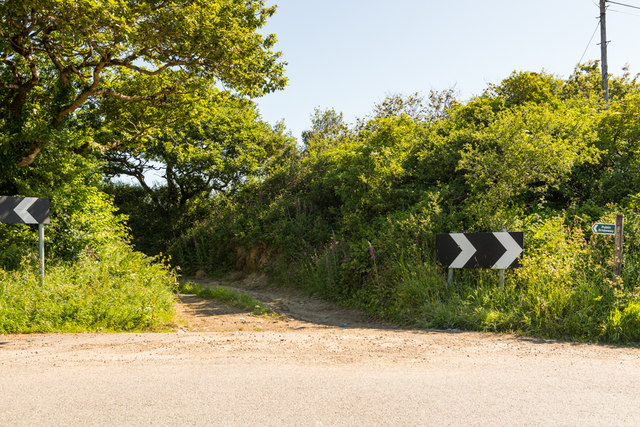
Public Bridleway
Start of a bridleway towards Penans Farm and the A390 between Hewas Water and Grampound.
 Map © Crown Copyright")
TIP: Click the map for more Large scale mapping
- Grid Square
- SW9548, 9 images (more nearby 🔍)
- Photographer
- Mike Lyne (more nearby)
- Date Taken
- Monday, 25 May, 2020 (more nearby)
- Submitted
- Tuesday, 26 May, 2020
- Subject Location
-
OSGB36:
 SW 9532 4837 [10m precision]
WGS84: 50:17.9810N 4:52.5225W - Camera Location
-
OSGB36: SW 9531 4833
- View Direction
- North-northeast (about 22 degrees)