2020
TL5809 : Footpath 186_70
taken 4 years ago, near to Beauchamp Roding, Essex, England
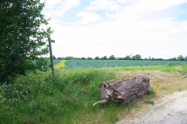
Footpath 186_70
The stripe across the field is 589m long where it meets Footpath 186_19
 Map © Crown Copyright")
TIP: Click the map for more Large scale mapping
- Grid Square
- TL5809, 13 images (more nearby 🔍)
- Photographer
- Glyn Baker (more nearby)
- Date Taken
- Tuesday, 26 May, 2020 (more nearby)
- Submitted
- Wednesday, 27 May, 2020
- Subject Location
-
OSGB36:
 TL 5809 0936 [10m precision]
WGS84: 51:45.6368N 0:17.3578E - Camera Location
-
OSGB36: TL 5817 0933
- View Direction
- West-northwest (about 292 degrees)