2017
TL1799 : Nos. 54 and 56 Grange Road
taken 6 years ago, near to Peterborough, England
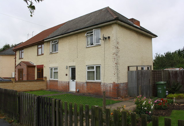
Nos. 54 and 56 Grange Road
There is an Ordnance Survey benchmark TL1799 : Benchmark on No. 56 Grange Road on the side of the nearer house at its front corner
 Map © Crown Copyright")
TIP: Click the map for more Large scale mapping
- Grid Square
- TL1799, 49 images (more nearby 🔍)
- Photographer
- Phil Richards (more nearby)
- Date Taken
- Sunday, 22 October, 2017 (more nearby)
- Submitted
- Saturday, 30 May, 2020
- Subject Location
-
OSGB36:
 TL 1790 9962 [10m precision]
WGS84: 52:34.8970N 0:15.6828W - Camera Location
-
OSGB36: TL 1791 9964
- View Direction
- South-southwest (about 202 degrees)