2020
SD7520 : Path on Causeway Height
taken 4 years ago, near to Haslingden Grane, Lancashire, England
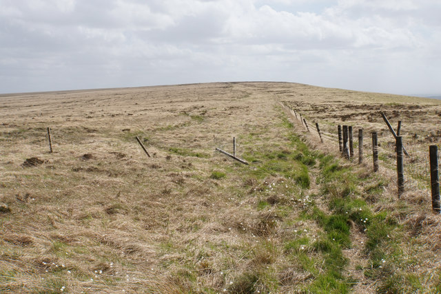
Path on Causeway Height
An informal path has developed along the ridge, but it is often very soggy. The scenery does not change very much at all for the next 2 kilometres. I was being battered by a persistent strong wind from the right.
 Map © Crown Copyright")
TIP: Click the map for more Large scale mapping
- Grid Square
- SD7520, 25 images (more nearby 🔍)
- Photographer
- Bill Boaden (more nearby)
- Date Taken
- Friday, 22 May, 2020 (more nearby)
- Submitted
- Friday, 5 June, 2020
- Subject Location
-
OSGB36:
 SD 7532 2091 [10m precision]
WGS84: 53:41.0435N 2:22.5091W - Camera Location
-
OSGB36: SD 7532 2096
- View Direction
- SOUTH (about 180 degrees)